Warm Holiday Weekend Ahead Across the Region
Warmer-than-normal temperatures are expected across Southern Oregon and Northern California this holiday weekend, with highs running 10 to 20 degrees above average. The National Weather Service says the warmest conditions are expected on Easter Sunday, with a Minor HeatRisk possible for heat-sensitive individuals.
Winter Storm Warning Continues for Oregon Cascades
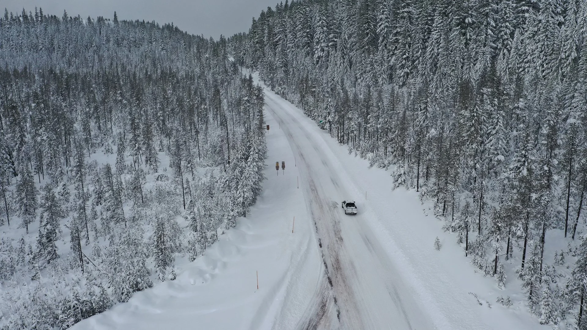
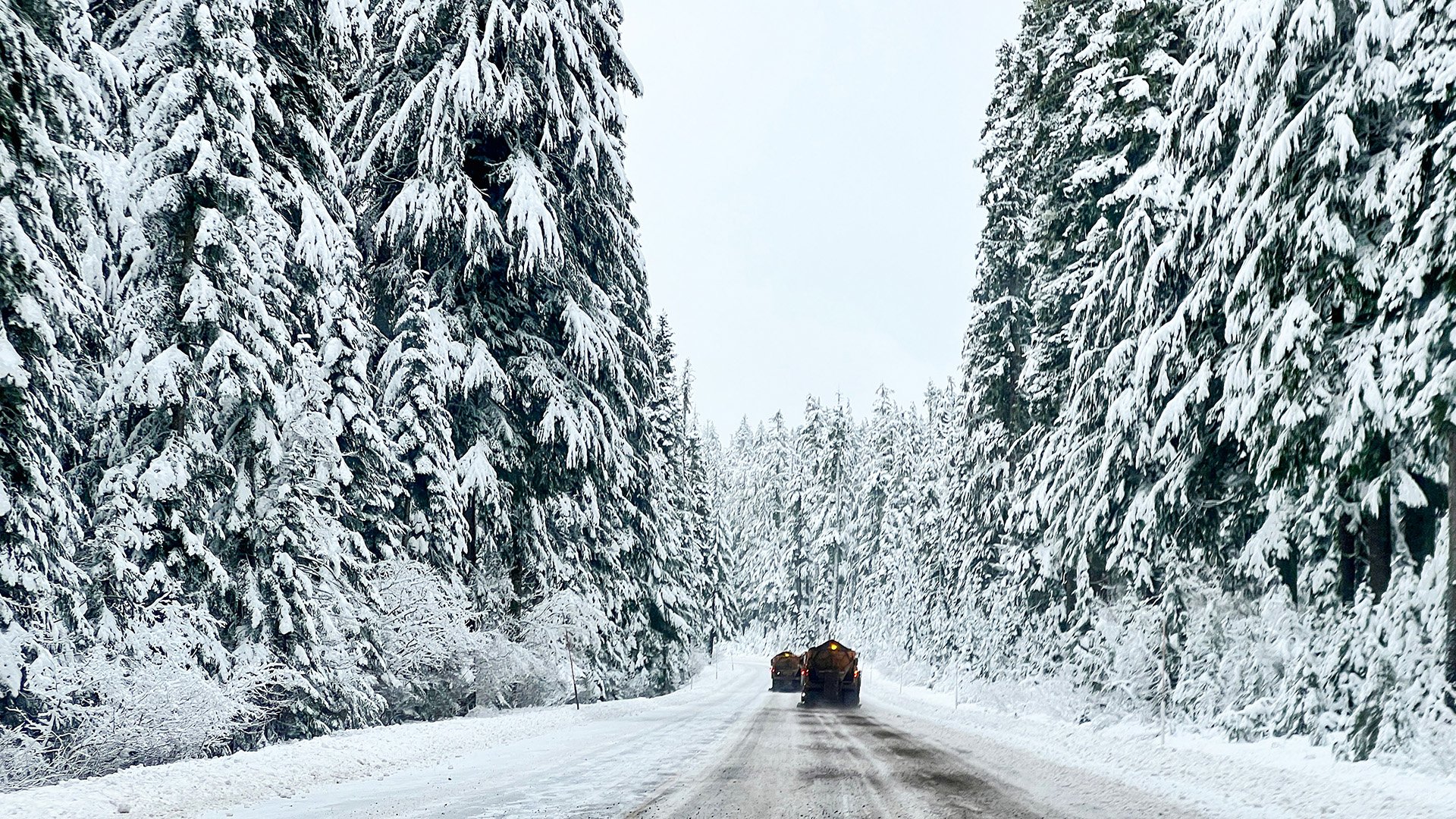
A Winter Storm Warning remains in effect for the Oregon Cascades with heavy snow and strong winds expected through Thursday. Forecasters say up to 30 inches of snow is possible in some higher elevations with difficult travel conditions. Additional watches, warnings, and advisories have been issued across Southern Oregon and Northern California.
Rain, Snow and Wind Expected Across Southern Oregon This Week
Rain, snow, and gusty winds are expected across Southern Oregon this week as a strong weather system moves through the region. The National Weather Service says heavy mountain snow, falling snow levels, and winds up to 55 mph could impact travel, while a Winter Storm Watch has been issued for the southern Oregon Cascades with up to 20 inches of snow possible.
Winter Storm Pattern to Bring Heavy Mountain Snow, Hazardous Travel, and Dangerous Surf
A series of winter weather systems moving through Southern Oregon this week is expected to bring falling snow levels, hazardous travel across mountain passes, and dangerous surf along the coast, with the most significant impacts arriving midweek.
OEM Activates Emergency Coordination Center Ahead of Atmospheric River
The Oregon Department of Emergency Management has activated the State Emergency Coordination Center to Level 3 in response to an incoming atmospheric river expected to bring heavy rain, flooding, and landslide risks across western Oregon.
Strong Storm to Bring High Winds, Hazardous Surf, and Heavy Rain to the Region
A strong storm system will bring damaging winds, hazardous coastal surf, and heavy rainfall to southern Oregon and northern California from Thursday into Friday, with travel impacts, power outages, and flooding possible in some areas.
Active Weather Pattern Returns This Week
Active weather is returning to the region as a series of weather systems moves through this week, bringing periods of wind, rain, and fluctuating snow levels. While winter impacts are expected to remain limited for most areas, gusty winds, heavy rainfall, and difficult travel conditions are possible at times.
King Tides and High Surf Collide This Week
The National Weather Service has issued a high surf advisory for the South Central Oregon Coast as powerful King Tides roll in this week. Waves up to 25 feet and potential flooding are expected along beaches and low-lying areas, prompting safety warnings for residents and visitors alike.


