
HWD weather
Regional forecasts, alerts, and impacts

Local Weather News
Stay informed with up-to-date weather coverage impacting Southern Oregon & Northern California.
HiveWire Daily’s Weather section delivers timely forecasts, storm updates, advisories, and impact-driven reporting focused on how changing conditions affect travel, safety, infrastructure, and daily life across the region.

News
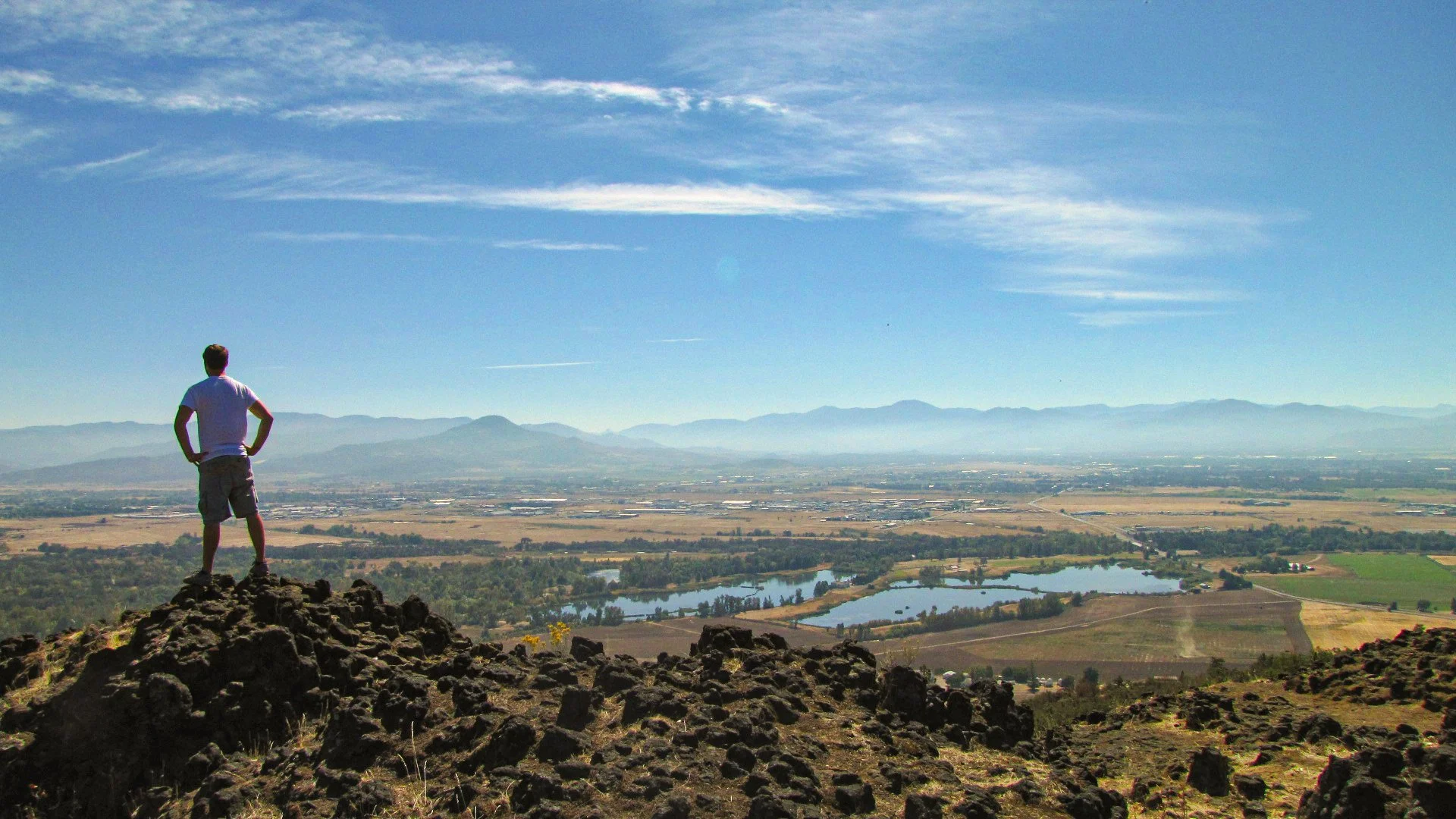


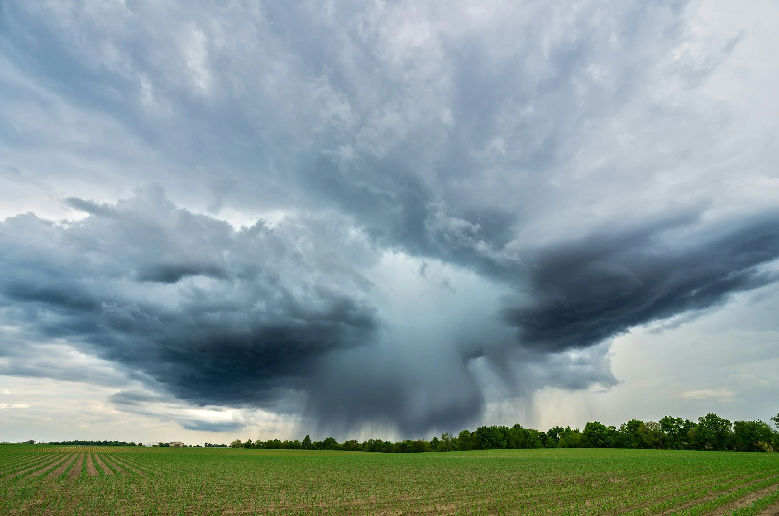
Southern Oregon will move from showers, breezy nights and possible frost east of the Cascades to its first significant heat event of the season. Temperatures may reach 101 degrees in Medford and Grants Pass by Sunday, while forecasters urge residents to prepare for heat-related illness and remember that area rivers and lakes remain dangerously cold.