
Wildfire MAps
Fire activity, smoke, weather, and regional wildfire resources
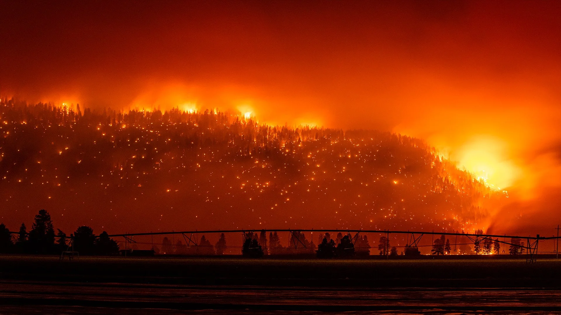
Access wildfire maps, smoke information, fire weather tools, evacuation resources, and official incident tracking links for Southern Oregon, Northern California, and surrounding regions.
AirNow Fire and Smoke Map
View current smoke conditions, air quality monitors, fire detections and smoke forecasts from AirNow.
Open Live Smoke MapHWD Firewatch is a news and information resource and is not a replacement for official emergency alerts. Always follow instructions from your local sheriff’s office, emergency management agency, fire officials, and law enforcement.